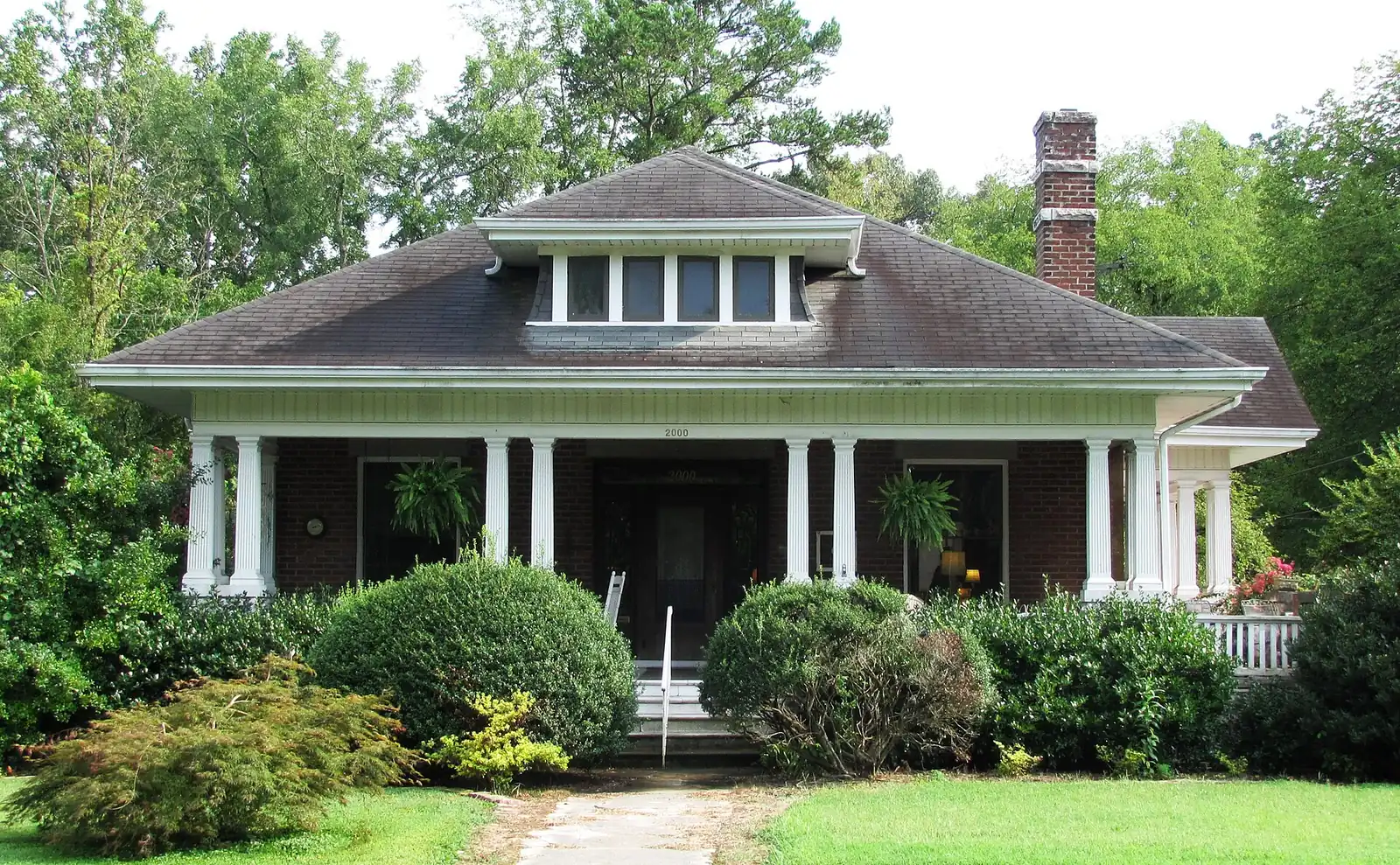
South Knoxville, across the river from downtown, is zoned for South-Doyle High and holds the Urban Wilderness. ZIP 37920: $318,290 in September 2026.
Last checked Oct. 17, 2026. Sources: KGIS’s KGIS Maps (the “Neighborhoods in Knox County” boundaries, neighborhood groups, city limits, Knox County Schools attendance zones and school locations, ZIP codes, historic districts and zoning overlays); the Tennessee Department of Education’s 2024-25 letter grades; Zillow Research; Knoxville Area Transit; the city’s greenway and trail pages; and OpenStreetMap.
South Knoxville is the part of the city across the Tennessee River from downtown, along Chapman Highway. This guide covers the riverside neighborhoods KGIS names there: South Knoxville, Island Home, Old Sevier, South Haven, the South Waterfront and Vestal. Much of the city’s Urban Wilderness, its network of parks and trails, is here.
What this means for you
- Zoned high school: South-Doyle High for all of the area (graded C for 2024-25).
- Home value: $318,290 in ZIP code 37920 in September 2026, according to the Zillow Home Value Index.
- Nearest interstate exit: I-40 exit 388, signed for the Convention Center and Museum of Art, about 2.5 miles by road across the river.
Part of our Knoxville neighborhoods guide.
Where it is
The six KGIS neighborhoods together cover about 4.7 square miles, all in ZIP code 37920. About 95% of the area is inside the city; part of Vestal on the southwest edge is not, according to KGIS’s city limits map. The main roads are Chapman Highway (U.S. 441), Island Home Avenue, Sevier Avenue, West Blount Avenue, Sevierville Pike, Martin Mill Pike and Maryville Pike. The South Waterfront faces downtown across the river, with Island Home to its east and Vestal to the southwest.
KGIS maps two National Register districts here: the Island Home Park Historic District and the Tennessee School for the Deaf Historic District. Parts of the area carry the city’s historic (H) overlay, which adds design review for exterior changes; see our building permits and zoning guide.
Schools
From the Knox County Schools attendance zones and school locations on KGIS Maps, checked Oct. 17, 2026. Grades are each school’s overall grade on Tennessee’s 2024-25 state report card:
| Level | School | Address | 2024-25 grade | Where it is zoned |
|---|---|---|---|---|
| Elementary | Dogwood Elementary | 705 Tipton Ave. | C | About 47%, the center |
| Elementary | South Knox Elementary | 801 Sevier Ave. | B | About 35%, the north, near the river |
| Elementary | Mooreland Heights Elementary | 5315 Magazine Road | C | About 11%, the southeast |
| Elementary | Mount Olive Elementary | 2507 Maryville Pike | B | About 7%, the southwest |
| Middle | South-Doyle Middle | 3900 Decatur Drive | C | All |
| High | South-Doyle High | 2020 Tipton Station Road | C | All |
South-Doyle High is in the county south of the city limits. Check the exact address in the KGIS school zone search. More in our schools guide.
Home values
The typical home value in ZIP code 37920 was $318,290 in September 2026, up 0.9% from $315,560 in September 2025, according to the Zillow Home Value Index. The index is a modeled typical value for the middle third of homes, not a sale price, and 37920 also covers areas south of this guide’s boundaries. The City of Knoxville figure was $368,965, up 1.0%. More in our home prices guide.
Parks and trails
From Knoxville-Knox County Planning’s parks map layer and the city’s trail pages:
- Ijams Nature Center, 3209 Island Home Ave., with its trails and quarries.
- Fort Dickerson Park, on Fort Dickerson Road, about 91 acres with its greenway and trails.
- Baker Creek Preserve, 1516 Taylor Road, about 100 acres, and the Urban Wilderness Gateway Park, 1250 Tilson St.
- Island Home Park, 2225 Estelle Circle, and Suttree Landing Park, 1001 Waterfront Drive, on the river.
- Mary Vestal Park, 401 Maryville Pike, and Scottish Pike Park, 2801 Scottish Pike.
- Sam Duff Memorial Park, 4060 Chapman Highway, and Mary James Park, 1825 McClung Ave.
The Will Skelton Greenway follows the river from Island Home Park through Ijams, and the Urban Wilderness South Loop links the trail systems. More in our parks and trails guide and walking and biking trails guide.
Getting around
- Interstate: I-40 exit 388, signed for the Convention Center and Museum of Art, is about 2.5 miles by road across the river; exit 386B (U.S. 129, Alcoa Highway) is about 3.8 miles.
- Downtown: about 2.1 miles by road to Market Square.
- Airport: about 15.5 miles by road to McGhee Tyson Airport (TYS).
- Bus: KAT Route 40 (South Knoxville), Route 41 (Chapman Highway), Route 44 (Knox Row) and Route 45 (Vestal) stop in the area, in the KAT stop data published by Knoxville-Knox County Planning.
Distances are measured on the OpenStreetMap road network with the OSRM routing engine; exit distances run from the off-ramp to the middle of the area. They are distances, not drive times.
Neighborhood groups
KGIS’s neighborhood groups map shows several active neighborhood associations here, including the South Haven Neighborhood Association, the Old Sevier Community Group, the Vestal Community Organization, the Lindbergh Forest Neighborhood Association and the Island Home Park Neighborhood Association. They are voluntary groups, not homeowners associations with dues on the deed.
Groceries and everyday stores
From OpenStreetMap, all on Chapman Highway:
- Kroger, 4409 Chapman Highway.
- United Grocery Outlet, 4225 Chapman Highway.
- Walgreens, 4001 Chapman Highway.
How we drew this area
The area combines six KGIS “Neighborhoods in Knox County” polygons: South Knoxville, Island Home, Old Sevier, South Haven, South Waterfront and Vestal. Zones, ZIP codes, city limits and overlays come from points sampled across those boundaries, checked Oct. 17, 2026. Store and road data are © OpenStreetMap contributors.
Frequently asked questions
What high school is South Knoxville zoned for?
South-Doyle High School, 2020 Tipton Station Road, and South-Doyle Middle School, for all of the area in this guide, according to KGIS school zone maps. South-Doyle High was graded C on Tennessee’s 2024-25 report card.
What ZIP code is South Knoxville?
ZIP code 37920. Zillow’s typical home value for 37920 was $318,290 in September 2026, up 0.9% in a year.
What is the Urban Wilderness in South Knoxville?
A network of city parks and trails south of the river, including Ijams Nature Center, Fort Dickerson Park, Baker Creek Preserve and the Will Skelton Greenway. The city lists more than 60 miles of trail on its South Loop.
Which neighborhoods are in South Knoxville?
KGIS’s neighborhood map names South Knoxville, Island Home, Old Sevier, South Haven, the South Waterfront and Vestal along the river south of downtown, which this guide covers together.
Have your say