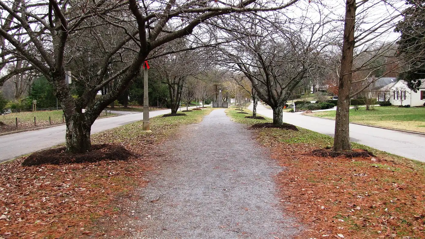
Knoxville has 45 city greenways and trails, over 125 miles in all, including an 18-mile connected network along the river. Distances, loops and trailheads.
Last checked Oct. 17, 2026. Facts and distances come from the City of Knoxville’s Greenways and Trails page and its greenway facility pages, linked below. For Knoxville’s big parks, quarries and the Urban Wilderness, see our parks and trails guide.
Knoxville has more than 125 miles of paved greenways and natural trails, the city says, spread across 45 greenways and trail systems. The backbone is an 18-mile connected network along the Tennessee River and its creeks: the Neyland, Third Creek, Sequoyah, Second Creek and Knox/Blount greenways all join, so you can walk or ride from the edge of downtown past UT to Bearden, Sequoyah Hills or across the river to Cherokee Farm. Leashed dogs are welcome.
Who to call
- Greenway problems, lights, downed trees: Knoxville 311, 865-215-4311
- Interactive map: the city’s Parks and Greenways Map
- Regional greenways: Great Smoky Mountains Regional Greenway Council
The connected river network (18 miles)
| Greenway | Miles | Where |
|---|---|---|
| Neyland Greenway | 3.0 | Along the river from First Creek past UT to the UT Faculty Club; entrances at 2401 and 2377 Neyland Drive |
| Third Creek Greenway | 5.3 | From Forest Park Boulevard in Bearden through Tyson Park to the river |
| Sequoyah Greenway | 2.7 | The median of Cherokee Boulevard, Sequoyah Hills |
| Knox/Blount Greenway | 2.2 | Across the Buck Karnes (Alcoa Highway) Bridge to Knox County’s Marine Park |
| Second Creek Greenway | 1.0 | From Neyland Drive north to World’s Fair Park |
| James White Greenway | 0.9 | East of First Creek, downtown |
| Bearden Village Greenway | 2.1 | Bearden, linking to Third Creek |
Neyland Greenway. It starts at the bridge over First Creek and runs west beside the river. At the mouth of Second Creek, the Second Creek Greenway branches north to World’s Fair Park. Neyland continues past Thompson-Boling Arena, Neyland Stadium, the UT soccer complex, the UT Experimental Garden and the vet school to the UT Faculty Club parking lot. Vol fans use it to walk to football games. At the I-40 ramp from Neyland Drive, a cloverleaf ramp joins the Knox/Blount Greenway across the river.
Third Creek Greenway. Knoxville’s first paved greenway. It winds from Bearden along Third Creek through 26-acre Tyson Park, with tennis courts, the Knoxville Skatepark, an accessible playground and picnic areas, to meet Neyland at the river. Look for the “zig zag bridge” near Concord Street, officially the John Ulmer Bridge. Park entrances are off Cumberland Avenue and Concord Street.
Knox/Blount Greenway. The city’s 2-mile section is the first phase of a planned walking route from Knoxville south to the Great Smoky Mountains. It follows the river past the UT practice golf course and Cherokee Farm. Park at the Cherokee Farm entrance near the amphitheater, or at Knox County’s Marine Park off Alcoa Highway. UT students use it to commute.
Loops and longer trails
| Trail | Miles | Notes |
|---|---|---|
| Lakeshore Greenway | 3.1 (2.1-mile main loop) | In 185-acre Lakeshore Park; river views; fully lit; dawn to dusk; some steep slopes |
| Urban Wilderness South Loop | Over 60 | South Knoxville; includes Will Skelton Greenway, William Hastie Trails, Ijams trails and Baker Creek Preserve |
| Ijams Nature Center Trails | 12.9 | Natural trails, quarries and the River Boardwalk |
| Sharp’s Ridge Trails | 5.4 | North Knoxville ridge |
| Fort Dickerson Greenway and Trails | 3.7 | South Knoxville |
| Will Skelton Greenway | 3.57 | Riverside, South Knoxville |
| William Hastie Trails | 3.5 | South Knoxville |
Neighborhood greenways
| Greenway | Area | Miles |
|---|---|---|
| Jean Teague Greenway | West | 2.6 |
| Victor Ashe Greenway | North | 2.3 |
| Middlebrook Greenway | West | 2.1 |
| Adair/Sue Clancy Greenway | North | 2.0 |
| Morningside Greenway | East | 2.0 |
| Parkside Greenway | West | 2.0 |
| Holston River Greenway | East | 1.8 |
| First Creek Greenway (Upper) | North | 1.5 |
| Pleasant Ridge Greenway | North | 1.5 |
| Cavet Station Greenway | West | 1.2 |
The city lists 45 in all, including short links of under a mile such as the Botanical Gardens, Fountain City and Papermill Bluff greenways. Full list
Before you go
- Uses: the city’s main greenways are open for walking, running, cycling, skating, strollers, wheelchairs and leashed dogs.
- Hours: city parks are open dawn to dusk unless posted otherwise; the Lakeshore Greenway lists dawn to dusk and is lit throughout.
- Game days: the Neyland Greenway passes Neyland Stadium, and the city notes Vol fans use it to walk to football games.
- Races: the Knoxville Track Club’s CrossKnox race uses the Neyland and Third Creek greenways, running from Haley Heritage Square in East Knoxville to Bearden Elementary.
Related: parks and trails, dog-friendly Knoxville and getting around.
Frequently asked questions
How many miles of greenways does Knoxville have?
The city says it has more than 125 miles of paved greenways and natural trails, across 45 greenways and trail systems.
What is the longest greenway in Knoxville?
Among single greenways, the Third Creek Greenway is 5.3 miles. Connected together, Third Creek, Neyland, Sequoyah, Knox/Blount and others form an 18-mile network, and the Urban Wilderness South Loop trail system has more than 60 miles.
Where can I walk a loop in Knoxville?
Lakeshore Park’s greenway is 3.1 miles, with a 2.1-mile main loop partly along the Tennessee River. It is lit end to end and open dawn to dusk, but has some steep slopes.
Can I bike from downtown Knoxville to UT and Bearden?
Yes. The Neyland Greenway runs west along the river past UT to the mouth of Third Creek, where the Third Creek Greenway heads north through Tyson Park to Bearden.
Are dogs allowed on Knoxville greenways?
Yes, on a leash. The city welcomes leashed dogs on its greenways and trails unless signs say otherwise.
Have your say