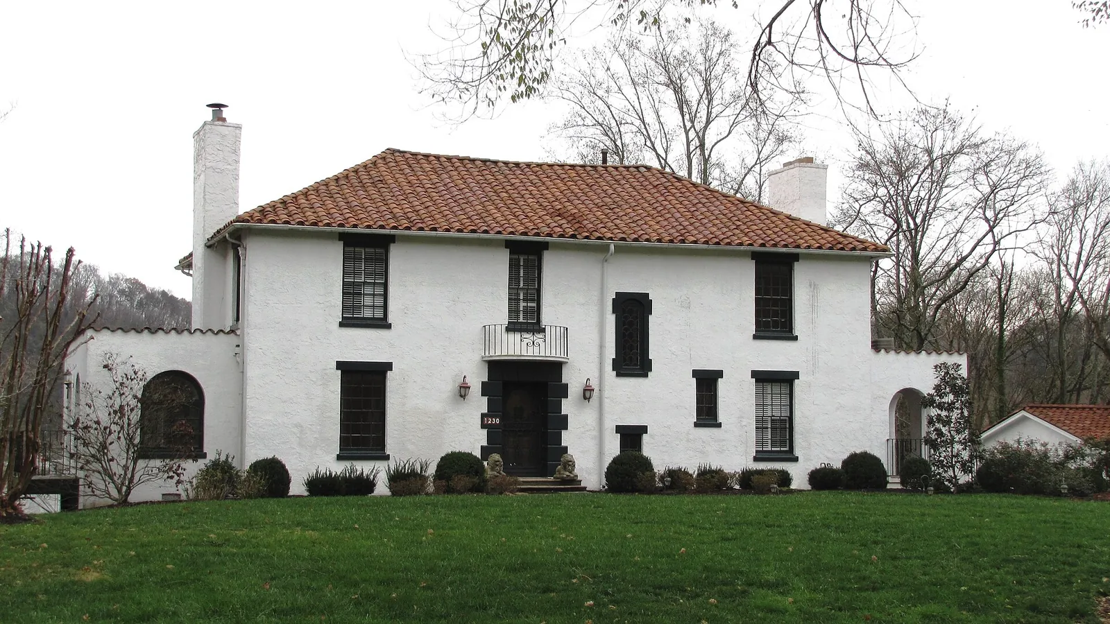
Sequoyah Hills, on the river west of UT, is zoned for Sequoyah Elementary and West High. Zillow put ZIP 37919 at $546,304 in September 2026.
Last checked Oct. 17, 2026. Sources: KGIS’s KGIS Maps (the “Neighborhoods in Knox County” boundaries, neighborhood groups, Knox County Schools attendance zones, ZIP codes, historic districts and zoning overlays); the Tennessee Department of Education’s 2024-25 letter grades; Zillow Research; Knoxville Area Transit; the city’s greenway pages; and OpenStreetMap.
Sequoyah Hills is a neighborhood of houses on winding streets between Kingston Pike and a bend of the Tennessee River, west of the University of Tennessee. Cherokee Boulevard, with a greenway down its median, runs through it to Sequoyah Hills Park on the river. Most of the neighborhood is a National Register historic district.
What this means for you
- Zoned high school: West High for all of Sequoyah Hills (graded A for 2024-25).
- Home value: $546,304 in ZIP code 37919 in September 2026, according to the Zillow Home Value Index.
- Nearest interstate exit: I-40 exit 386B (U.S. 129, Alcoa Highway), about 3.1 miles by road.
Part of our Knoxville neighborhoods guide.
Where it is
This guide follows KGIS’s “Neighborhoods in Knox County” boundary for Sequoyah Hills, about 1.8 square miles inside the city, all in ZIP code 37919. It lies between Kingston Pike on the north and the river on the south. Cherokee Boulevard is the main street, with Kenesaw Avenue, Talahi Drive, Arrowhead Trail, Taliluna Avenue, Keowee Avenue, Southgate Road, Scenic Drive and Blows Ferry Road among the others.
KGIS maps the National Register-listed Sequoyah Hills Historic District over most of the neighborhood, part of the Kingston Pike Historic District along the pike, and the Talahi Improvements. Parts of the area carry the city’s Neighborhood Conservation (NC) overlay or historic (H) overlay, which add design review; see our building permits and zoning guide.
Schools
From the Knox County Schools attendance zones on KGIS Maps, checked Oct. 17, 2026, all of Sequoyah Hills is zoned for the same three schools. Grades are each school’s overall grade on Tennessee’s 2024-25 state report card:
| Level | School | Address | 2024-25 grade |
|---|---|---|---|
| Elementary | Sequoyah Elementary | 942 Southgate Road | B |
| Middle | Bearden Middle | 1000 Francis Road | C |
| High | West High | 3300 Sutherland Ave. | A |
Sequoyah Elementary is inside the neighborhood. Check an address in the KGIS school zone search. More in our schools guide.
Home values
The typical home value in ZIP code 37919 was $546,304 in September 2026, up 2.0% from $535,820 in September 2025, according to the Zillow Home Value Index. The index is a modeled typical value for the middle third of homes, not a sale price, and 37919 also covers Bearden and Forest Heights. The City of Knoxville figure was $368,965, up 1.0%. More in our home prices guide.
Parks and trails
From Knoxville-Knox County Planning’s parks map layer and our parks and trails guide:
- Sequoyah Hills Park, 1400 Cherokee Blvd., about 85 acres on the river, with a riverside greenway, fishing, a playground and sports fields.
- Talahi Park, 1034 Cherokee Blvd.
- Whitlow-Logan Park, 5719 Kingston Pike.
- Third Creek Greenway Park, 3110 Sutherland Ave., and Safety City Park, 165 S. Concord St., on the northeast edge.
The Sequoyah Greenway runs 2.7 miles down the median of Cherokee Boulevard, and the Third Creek Greenway connects to it. More in our walking and biking trails guide.
Getting around
- Interstate: I-40 exit 386B (U.S. 129, Alcoa Highway) is about 3.1 miles by road; exit 383 (Papermill Drive and Northshore Drive, Tennessee 332) is about 3.5 miles.
- Downtown: about 3.9 miles by road to Market Square.
- Airport: about 18.3 miles by road to McGhee Tyson Airport (TYS).
- Bus: KAT Route 10 (Sequoyah Hills) serves the neighborhood, in the KAT stop data published by Knoxville-Knox County Planning.
Distances are measured on the OpenStreetMap road network with the OSRM routing engine; exit distances run from the off-ramp to the middle of the neighborhood. They are distances, not drive times.
Neighborhood groups and HOAs
KGIS’s neighborhood groups map shows the Kingston Pike-Sequoyah Hills Association, an active neighborhood association covering nearly all of the area. It is a voluntary group. The same map shows one homeowners association, the Anteelah Homeowners Association, covering a small area on the edge of the neighborhood.
Groceries and everyday stores
OpenStreetMap shows no supermarket inside Sequoyah Hills. The nearest are just west along Kingston Pike in Bearden:
- The Fresh Market, 4475 Kingston Pike.
- Kroger, 4918 Kingston Pike.
- ALDI, 5220 Kingston Pike.
How we drew this area
The area is the KGIS “Neighborhoods in Knox County” polygon for Sequoyah Hills. Zones, ZIP codes and overlays come from points sampled across that boundary, checked Oct. 17, 2026. Store and road data are © OpenStreetMap contributors.
Frequently asked questions
What schools are zoned for Sequoyah Hills?
All of Sequoyah Hills is zoned for Sequoyah Elementary, Bearden Middle and West High, according to KGIS school zone maps. West High was graded A and Sequoyah Elementary B on Tennessee’s 2024-25 report card.
What ZIP code is Sequoyah Hills?
ZIP code 37919. Zillow’s typical home value for 37919 was $546,304 in September 2026, up 2.0% in a year.
Is Sequoyah Hills a historic district?
Most of it is in the National Register-listed Sequoyah Hills Historic District, according to KGIS, and parts carry the city’s Neighborhood Conservation or historic zoning overlays.
Is Sequoyah Hills a good place to live?
Here are the facts. Sequoyah Hills is a riverside neighborhood of about 1.8 square miles with Sequoyah Hills Park and the Sequoyah Greenway, zoned for West High (graded A for 2024-25); the typical home value in ZIP 37919 was $546,304 in September 2026, according to Zillow.
Have your say