Holston Hills in East Knoxville is zoned mostly for Carter High and lies in a National Register district. ZIP 37914: $251,747 in September 2026.
Last checked Oct. 17, 2026. Sources: KGIS’s KGIS Maps (the “Neighborhoods in Knox County” boundaries, neighborhood groups, Knox County Schools attendance zones and school locations, ZIP codes and historic districts); the Tennessee Department of Education’s 2024-25 letter grades; Zillow Research; Knoxville Area Transit; and OpenStreetMap.
Holston Hills is a hilly neighborhood of houses on curving, wooded streets in East Knoxville, above the Holston River and around the Holston Hills Country Club. Nearly all of it lies in a National Register historic district named for the club and its homes.
What this means for you
- Zoned high school: Carter High for most of Holston Hills (graded B for 2024-25); Austin-East High Magnet (C) for the western part. Check the exact address.
- Home value: $251,747 in ZIP code 37914 in September 2026, according to the Zillow Home Value Index.
- Nearest interstate exit: I-40 exit 394 (Asheville Highway, U.S. 11E, 25W and 70), about 1.8 miles by road.
Part of our Knoxville neighborhoods guide.
Where it is
This guide follows KGIS’s “Neighborhoods in Knox County” boundary for Holston Hills, about 1.7 square miles inside the city, all in ZIP code 37914. It lies south of Asheville Highway and west of the Holston River. Holston Hills Road and Sunset Road are the main streets, with South Chilhowee Drive and Green Valley Drive on the western side. Its residential streets include Shady Dell Trail, Westover Terrace, Crestwood Drive, Plymouth Road, Tynemouth Road, Dartmouth Road and Avonmouth Road.
KGIS maps the National Register-listed Holston Hills Country Club and Residences District over nearly all of the neighborhood. KGIS shows no city historic zoning overlay here.
Schools
From the Knox County Schools attendance zones and school locations on KGIS Maps, checked Oct. 17, 2026. Grades are each school’s overall grade on Tennessee’s 2024-25 state report card:
| Level | School | Address | 2024-25 grade | Where it is zoned |
|---|---|---|---|---|
| Primary | Sunnyview Primary | 412 Bagwell Road | Not eligible for a letter grade | Nearly all |
| Intermediate (grades 3 to 5) | Chilhowee Intermediate | 5005 Asheville Highway | C | Nearly all |
| Middle | Holston Middle | 600 N. Chilhowee Drive | C | All |
| High | Carter High | 210 N. Carter School Road | B | About 85%, the east |
| High | Austin-East High Magnet | 2800 Martin Luther King Jr. Ave. | C | About 15%, the west |
A few streets on the western edge are zoned for Ritta Elementary instead. Check the exact address in the KGIS school zone search. More in our schools guide.
Home values
The typical home value in ZIP code 37914 was $251,747 in September 2026, down 0.6% from $253,388 in September 2025, according to the Zillow Home Value Index. The index is a modeled typical value for the middle third of homes, not a sale price, and 37914 covers a large part of East Knoxville, so it is not a figure for Holston Hills alone. The City of Knoxville figure was $368,965, up 1.0%. More in our home prices guide.
Parks and trails
From Knoxville-Knox County Planning’s parks map layer, the parks closest to Holston Hills are just outside it:
- Skyline Park, 1050 Beaman Lake Road, about 10 acres, on the edge of the neighborhood.
- Thomas “Tank” Strickland Park, 4618 Asheville Highway.
- Holston-Chilhowee Ballfields, 5900 Asheville Highway.
- Holston River Park, 3200 Holston Hills Road, 44 acres on the river, where the Holston River Greenway runs.
More in our parks and trails guide and walking and biking trails guide.
Getting around
- Interstate: I-40 exit 394 (Asheville Highway, U.S. 11E, 25W and 70) is about 1.8 miles by road from the middle of the neighborhood.
- Downtown: about 6.7 miles by road to Market Square.
- Airport: about 21.9 miles by road to McGhee Tyson Airport (TYS).
- Bus: KAT stop data published by Knoxville-Knox County Planning shows one stop at the edge of the neighborhood, on Route 34 (Burlington Shopper).
Distances are measured on the OpenStreetMap road network with the OSRM routing engine; exit distances run from the off-ramp to the middle of the neighborhood. They are distances, not drive times.
Neighborhood groups
KGIS’s neighborhood groups map shows the Historic Holston Hills Community Club, an active neighborhood association, covering about 70% of the area, inside the Town Hall East umbrella group for East Knoxville. These are voluntary groups, not homeowners associations with dues on the deed.
Groceries and everyday stores
From OpenStreetMap: Kroger, 4414 Asheville Highway, with a pharmacy, just north of the neighborhood. OpenStreetMap shows no other supermarket or pharmacy within about half a mile.
How we drew this area
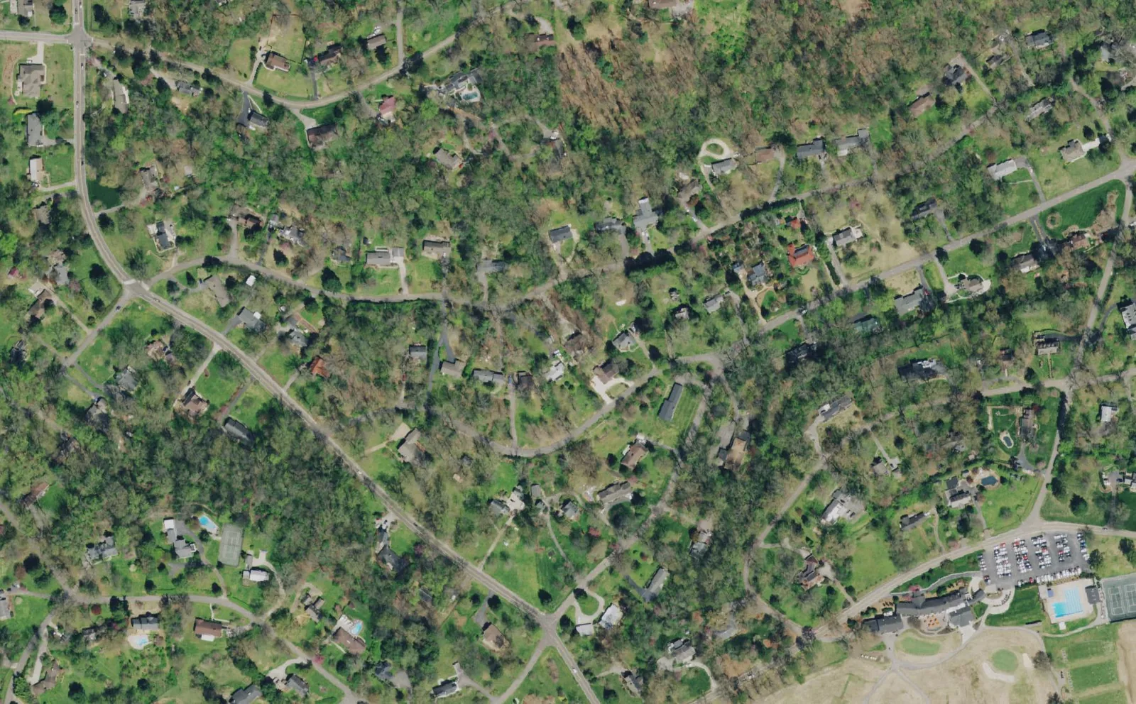
The area is the KGIS “Neighborhoods in Knox County” polygon for Holston Hills. Zones, ZIP codes and historic districts come from points sampled across that boundary, checked Oct. 17, 2026. The photo is a U.S. Department of Agriculture aerial image, because no freely licensed street photo of the neighborhood was available. Store and road data are © OpenStreetMap contributors.
Frequently asked questions
What high school is Holston Hills zoned for?
Most of Holston Hills is zoned for Carter High School, 210 N. Carter School Road, graded B on Tennessee’s 2024-25 report card. The western part is zoned for Austin-East High Magnet, according to KGIS school zone maps.
What elementary school serves Holston Hills?
Nearly all of Holston Hills is zoned for Sunnyview Primary, 412 Bagwell Road, for the early grades, then Chilhowee Intermediate, 5005 Asheville Highway, for grades 3 to 5, and Holston Middle for middle school.
What ZIP code is Holston Hills in?
ZIP code 37914. Zillow’s typical home value for 37914 was $251,747 in September 2026, down 0.6% from a year earlier.
Is Holston Hills a historic district?
Yes. KGIS maps the National Register-listed Holston Hills Country Club and Residences District over nearly all of the neighborhood.
Have your say