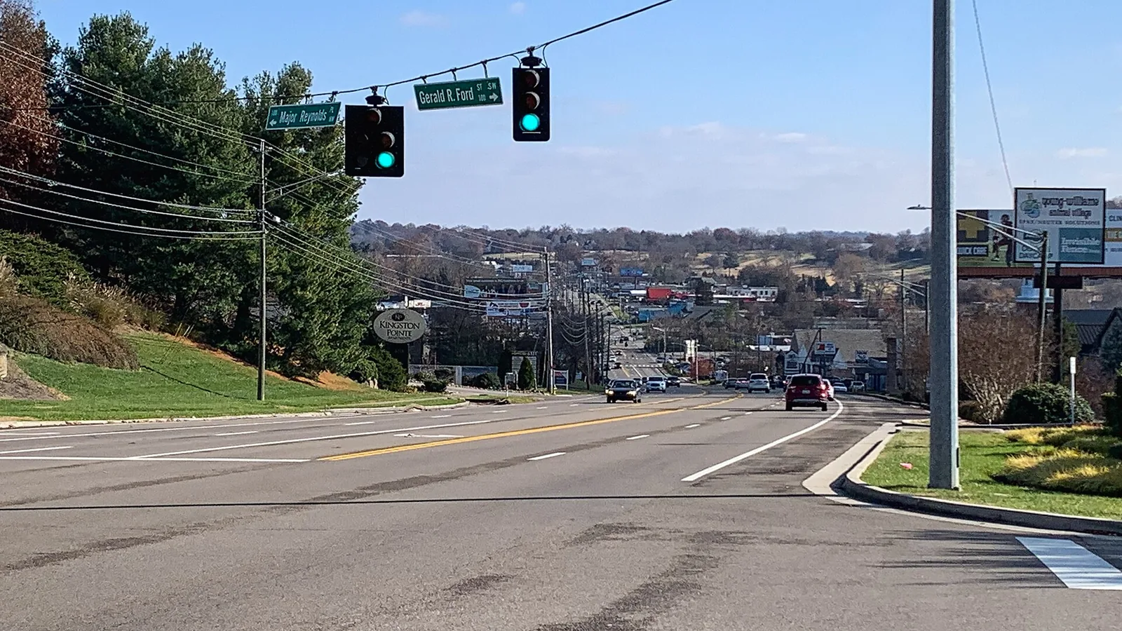
Bearden, on Kingston Pike in West Knoxville, is zoned for Bearden Elementary and West High. Zillow put ZIP 37919 at $546,304 in September 2026.
Last checked Oct. 17, 2026. Sources: KGIS’s KGIS Maps (the “Neighborhoods in Knox County” boundaries, neighborhood groups, Knox County Schools attendance zones, ZIP codes and zoning overlays); the Tennessee Department of Education’s 2024-25 letter grades; Zillow Research; Knoxville Area Transit; the city’s greenway pages; and OpenStreetMap.
Bearden is the West Knoxville area along Kingston Pike around its junctions with Papermill Drive and Northshore Drive, with stores along the pike and homes on the streets around it. KGIS’s neighborhood map divides it into Bearden, Bearden Village and Bearden Hill.
What this means for you
- Zoned high school: West High for all of Bearden (graded A for 2024-25), not Bearden High.
- Home value: $546,304 in ZIP code 37919 in September 2026, according to the Zillow Home Value Index.
- Nearest interstate exit: I-40 exit 383 (Papermill Drive and Northshore Drive, Tennessee 332), about 1 mile by road.
Part of our Knoxville neighborhoods guide.
Where it is
This guide follows KGIS’s “Neighborhoods in Knox County” boundaries for Bearden, Bearden Village and Bearden Hill, about 1.1 square miles together, all inside the city and all in ZIP code 37919. Kingston Pike (U.S. 11 and 70) runs east and west through the middle. Papermill Drive, North and South Northshore Drive, Old Weisgarber Road, Deane Hill Drive and Sutherland Avenue are the other main roads. Sequoyah Hills is to the east and West Hills to the west.
KGIS maps no National Register district inside these boundaries. A few blocks carry the city’s historic (H) overlay; see our building permits and zoning guide.
Schools
From the Knox County Schools attendance zones on KGIS Maps, checked Oct. 17, 2026. Grades are each school’s overall grade on Tennessee’s 2024-25 state report card:
| Level | School | Address | 2024-25 grade | Where it is zoned |
|---|---|---|---|---|
| Elementary | Bearden Elementary | 5717 Kingston Pike | C | Nearly all |
| Elementary | Pond Gap Elementary | 4530 Papermill Drive | C | A few streets on the northeast edge |
| Middle | Bearden Middle | 1000 Francis Road | C | All |
| High | West High | 3300 Sutherland Ave. | A | All |
Despite the name, Bearden High School (8352 Kingston Pike, graded A) is farther west and is not zoned for this area. Check an address in the KGIS school zone search. More in our schools guide.
Home values
The typical home value in ZIP code 37919 was $546,304 in September 2026, up 2.0% from $535,820 in September 2025, according to the Zillow Home Value Index. The index is a modeled typical value for the middle third of homes, not a sale price, and 37919 also covers Sequoyah Hills. The City of Knoxville figure was $368,965, up 1.0%. More in our home prices guide.
Parks and trails
From Knoxville-Knox County Planning’s parks map layer:
- Westwood Park, 120 Herron Drive.
- Forest Heights Pocket Park, 411 Highland Hills Road.
- Everly Brothers Park, 4639 Kingston Pike.
- Lakeshore Park, 5904 Lyons View Pike, just south, with a lit greenway loop, sports fields and playgrounds; see our parks and trails guide.
The Third Creek Greenway starts at Forest Park Boulevard in Bearden and runs 5.3 miles through Tyson Park to the river. The Bearden Village Greenway, 2.1 miles, links to it. More in our walking and biking trails guide.
Getting around
- Interstate: I-40 exit 383 (Papermill Drive, Northshore Drive and Weisgarber Road, Tennessee 332) is about 1 mile by road; exit 380 (U.S. 11 and 70, West Hills) is about 3.3 miles.
- Downtown: about 6.2 miles by road to Market Square.
- Airport: about 17.3 miles by road to McGhee Tyson Airport (TYS).
- Bus: KAT Route 11 (Sutherland and Kingston Pike) has the most stops here, and Route 17 (Sutherland and Bearden) also serves the area, in the KAT stop data published by Knoxville-Knox County Planning.
Distances are measured on the OpenStreetMap road network with the OSRM routing engine; exit distances run from the off-ramp to the middle of the area. They are distances, not drive times.
Neighborhood groups
KGIS’s neighborhood groups map shows no single neighborhood association covering Bearden. The edges of the Westwood, Pond Gap Area and Lyons View groups reach into it.
Groceries and everyday stores
From OpenStreetMap, most on Kingston Pike:
- Kroger, 4918 Kingston Pike; Food City, 5941 Kingston Pike; ALDI, 5220 Kingston Pike; and The Fresh Market, 4475 Kingston Pike.
- Whole Foods Market, 6730 Papermill Drive, on the west edge.
- CVS Pharmacy, 6005 Kingston Pike, and Walgreens, 121 N. Northshore Drive.
How we drew this area
The area combines the KGIS “Neighborhoods in Knox County” polygons for Bearden, Bearden Village and Bearden Hill. Zones, ZIP codes and overlays come from points sampled across those boundaries, checked Oct. 17, 2026. Store and road data are © OpenStreetMap contributors.
Frequently asked questions
Is Bearden zoned for Bearden High School?
No. On KGIS school zone maps, the Bearden neighborhood is zoned for West High School, 3300 Sutherland Ave., graded A for 2024-25. Bearden High, also graded A, is farther west at 8352 Kingston Pike and serves areas such as West Hills.
What elementary school serves Bearden?
Bearden Elementary, 5717 Kingston Pike, for nearly all of the neighborhood, then Bearden Middle, according to KGIS school zone maps.
What ZIP code is Bearden in?
ZIP code 37919. Zillow’s typical home value for 37919 was $546,304 in September 2026, up 2.0% in a year.
What greenways are in Bearden?
The Third Creek Greenway starts at Forest Park Boulevard in Bearden and runs 5.3 miles to the river, and the 2.1-mile Bearden Village Greenway links to it, according to the City of Knoxville.
Have your say