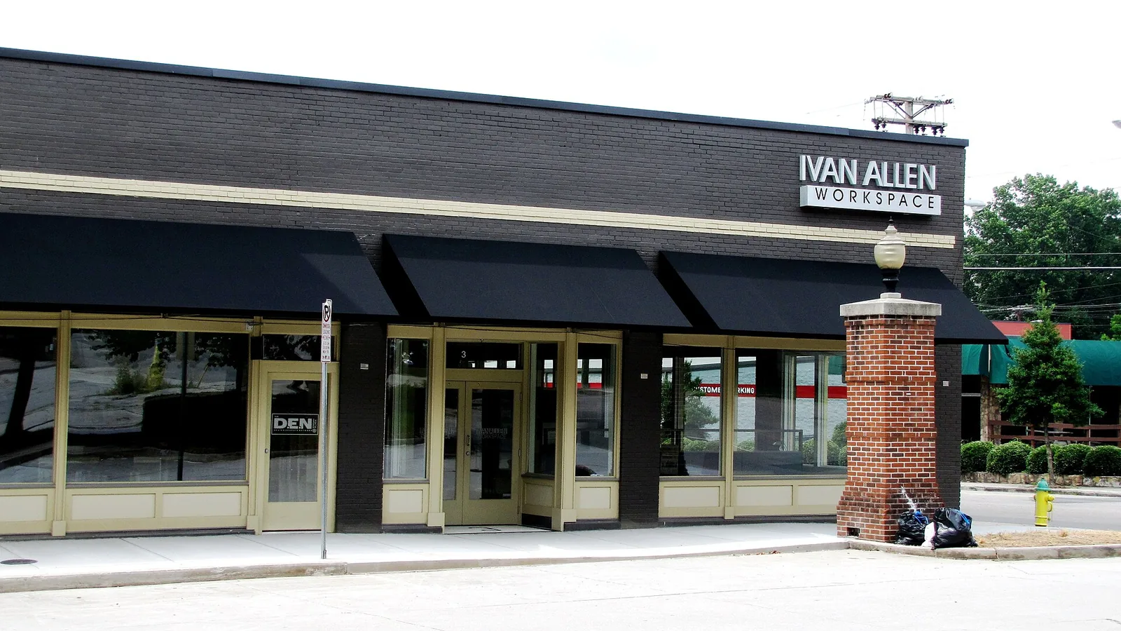
Downtown Knoxville is zoned for Sequoyah Elementary, Vine Middle and Austin-East High. Zillow put ZIP 37902 at $642,347 in September 2026.
Last checked Oct. 17, 2026. Sources: KGIS’s KGIS Maps (the “Neighborhoods in Knox County” boundaries, Knox County Schools attendance zones, ZIP codes and National Register historic districts); the Tennessee Department of Education’s 2024-25 letter grades; Zillow Research; Knoxville Area Transit; the city’s park and greenway pages; and OpenStreetMap.
Downtown is Knoxville’s business and government center on the north bank of the Tennessee River, home to the City County Building at 400 Main St. People live here in apartments and condominiums around Gay Street, Market Square and the Old City. For restaurants, events and parking, see our Market Square guide and getting around guide; this page is about living here.
What this means for you
- Zoned high school: Austin-East High Magnet for most of downtown (graded C for 2024-25); West High (A) for a strip on the west edge. Check the exact address.
- Home value: $642,347 in ZIP code 37902 in September 2026, according to the Zillow Home Value Index.
- Nearest interstate exit: I-40 exit 388, signed for the Convention Center and Museum of Art, about 1 mile by road from the middle of downtown.
Part of our Knoxville neighborhoods guide.
Where it is
This guide follows the downtown boundaries in KGIS’s “Neighborhoods in Knox County” map: the Downtown core plus the Old City, Summit Hill, the Market Street District, Emory Place, the Jackson Avenue warehouse district and the South Market historic district. Together they cover about 0.4 square miles inside the city.
The main streets are Gay Street, Henley Street, Summit Hill Drive, Church Avenue, Clinch Avenue, Union Avenue, Walnut Street, State Street and Central Street. World’s Fair Park sits on the west side and the river on the south. About 84% of the area is in ZIP code 37902; the west edge is in 37916 and parts of the Old City are in 37915.
KGIS maps five National Register historic districts here: Gay Street Commercial, Market Square Commercial, Emory Place, Jackson Avenue Warehouse and Hill Avenue. Several blocks also carry the city’s historic (H) zoning overlay, so exterior changes need a certificate of appropriateness; see our building permits and zoning guide.
Schools
Public schools are run by Knox County Schools. From the attendance zones on KGIS Maps, checked Oct. 17, 2026, with each school’s overall grade on Tennessee’s 2024-25 state report card:
| Level | School | Address | 2024-25 grade | Share of downtown zoned |
|---|---|---|---|---|
| Elementary | Sequoyah Elementary | 942 Southgate Road | B | About three-quarters |
| Elementary | Green Magnet Math and Science Academy | 801 Lula Powell Drive | D | The northeast, around the Old City |
| Middle | Vine Middle Magnet | 1807 Martin Luther King Jr. Ave. | D | Nearly all |
| High | Austin-East High Magnet | 2800 Martin Luther King Jr. Ave. | C | Most |
| High | West High | 3300 Sutherland Ave. | A | A strip on the west edge |
Zones follow streets, not neighborhood names. Check an address in the KGIS school zone search, which Knox County Schools links from its enrollment page. L&N STEM Academy, a Knox County Schools high school at 401 Henley St., is downtown too (graded A). More in our schools guide.
Home values
The typical home value in ZIP code 37902 was $642,347 in September 2026, up 1.5% from $632,895 in September 2025, according to the Zillow Home Value Index. The index is a modeled typical value for the middle third of homes in the ZIP code, not a sale price. The City of Knoxville figure was $368,965, up 1.0%. More in our home prices guide and property taxes guide; homes inside the city pay both the county and the city tax.
Parks and trails
City parks inside or touching downtown, from Knoxville-Knox County Planning’s parks map layer:
- Market Square, 60 Market Square, and Krutch Park, 405 Market St.
- World’s Fair Park, with the Sunsphere, lawns and splash pads, and Fort Kid, a playground at 1049 World’s Fair Park Drive.
- Volunteer Landing Park, 956 Volunteer Landing Lane, on the riverfront.
- Cal Johnson Park, 507 Hall of Fame Drive.
- PetSafe Downtown Dog Park, 200 S. Central St.
The Second Creek Greenway runs from Neyland Drive north to World’s Fair Park, and the Neyland Greenway follows the river west past the University of Tennessee. More in our parks and trails guide.
Getting around
- Interstate: I-40 exit 388, signed for the Convention Center, East Tennessee History Center and Museum of Art, is about 1 mile by road from the middle of downtown; exit 388A (Tennessee 158, James White Parkway and Summit Hill Drive) is about 1.4 miles and exit 389 (U.S. 441, Broadway and Hall of Fame Drive) about 1.8 miles.
- Airport: about 16.7 miles by road to McGhee Tyson Airport (TYS).
- Bus: most KAT routes start at Knoxville Station, 301 E. Church Ave. The fare-free Route 1 Downtown Connector runs every 15 minutes. Stops downtown also serve routes 10, 11, 12, 15, 17, 22, 42 and 45, among others, in the KAT stop data published by Knoxville-Knox County Planning.
Distances are measured on the OpenStreetMap road network with the OSRM routing engine; exit distances run from the off-ramp to the middle of the neighborhood. They are distances, not drive times.
Neighborhood groups
KGIS’s neighborhood groups map shows no neighborhood association or homeowners association covering the downtown core.
Groceries and everyday stores
From OpenStreetMap:
- The Local Market, 504 S. Gay St.
- Red Panda Grocery, 123 S. Central St., in the Old City.
- The Phoenix Apothecary, a pharmacy at 418 S. Gay St.
- Three Rivers Market, 1100 N. Central St., is just north of downtown.
How we drew this area
The area combines seven KGIS “Neighborhoods in Knox County” polygons: Downtown, Old City, Summit Hill, Market Street District, Jackson Avenue Warehouse District, Emory Place and South Market Historic District. Shares of zones and ZIP codes come from points sampled across those boundaries, checked Oct. 17, 2026. Store and road data are © OpenStreetMap contributors.
Frequently asked questions
What schools are zoned for downtown Knoxville?
Most of downtown is zoned for Sequoyah Elementary, Vine Middle Magnet and Austin-East High Magnet, according to KGIS school zone maps. The northeast corner around the Old City is zoned for Green Magnet Academy, and a strip on the west edge for West High.
What ZIP code is downtown Knoxville?
Most of downtown is in ZIP code 37902. The western edge near World’s Fair Park is in 37916, and parts of the Old City are in 37915.
How much are homes in downtown Knoxville?
The Zillow Home Value Index for ZIP code 37902 was $642,347 in September 2026, up 1.5% in a year. It is a modeled typical value for the ZIP code, not a sale price.
Is there a free bus in downtown Knoxville?
Yes. KAT’s Route 1, the Downtown Connector, is fare-free and runs every 15 minutes, according to Knoxville Area Transit. Most KAT routes start at Knoxville Station, 301 E. Church Ave.
Have your say